 Fun
In
New
England
- Connecticut
 Fun
In
New
England
- Connecticut
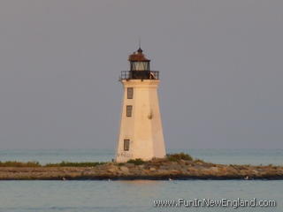
Fayerweather Island LightA.K.A. Black Rock Harbor LightFayerweather Island Bridgeport, CT 06605 FunInNewEngland Rating: (0 votes) GPS Coordinates: 41.14236, -73.21742 A lighthouse built in 1823; Now part of Seaside Park and owned by the city of Bridgeport; Restored in 1983 and 1998; The grounds are accessible by walking over the breakwater, but the lighthouse is not open to the public. It can be viewed from the end of Barnum Avenue at 41.148617, -73.216167 but normally a permit is needed (for the park). Last updated 2016-04-07 Get map or directions from Google Maps, Yahoo Maps, Bing Maps, or Mapquest  Rate it yourself Submit your own review |